01The short answer
Elías Calles is the corridor's southern frontier: the stretch of Highway 19 just below Cerritos, roughly 15 mi / 24 km south of Todos Santos and about 35 mi / 56 km north of Cabo San Lucas[1]. No town center, no services to speak of, and that's the point: it's hillside and coastal land, minutes from the corridor's busiest beach, at prices the rest of the corridor stopped charging years ago.
I live up the corridor at San Pedrito, and I've watched the pattern run in one direction for years: when a place fills in, the next wave of buyers drives five more minutes. Elías Calles is the five more minutes.
02What and where it actually is
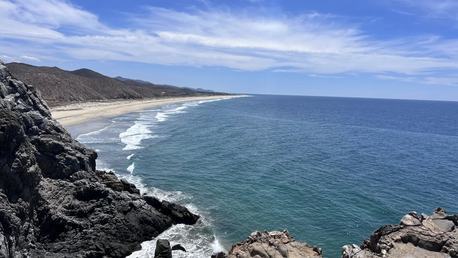
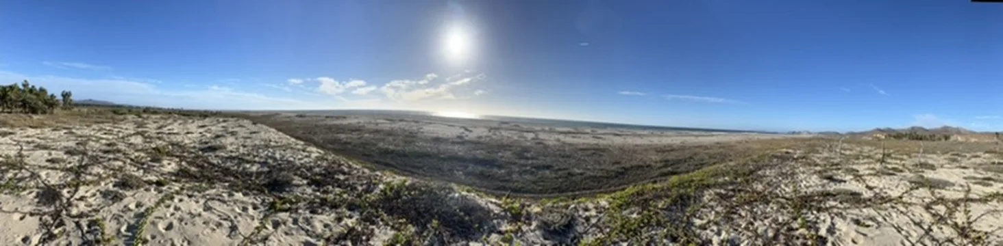
Drive south past the Cerritos turnoff and the corridor changes register. The construction thins, the desert widens, and the highway rides a bench of land between the Pacific and the foothills. The named settlement of Elías Calles is small, a ranching community that predates every for-sale sign around it, and the market's "Elías Calles" is broader: the parcels, ranchitos, and view hillsides spread along this stretch of Highway 19 before the coast bends toward Migriño and the Cabo side[1].
There's no town here: no plaza, no bank, no restaurant row. Errands mean Pescadero or Todos Santos to the north, or Cabo to the south. What you get is the last stretch of the corridor where the land still outnumbers the plans for it.
03Why it's moving
The case is arithmetic, not romance. Cerritos, one exit north, is the corridor's development engine: swimmable beach, surf schools, condo cranes. As its hillsides fill and its prices climb, the buyer who wants acreage and an ocean view instead of an HOA and a shared pool keeps sliding south. Elías Calles catches them.
The other half of the case is Cabo. This stretch is the corridor's closest ground to the Cabo airports and payroll, and the highway between them is fast and paved the whole way[1]. As Cabo money looks north for elbow room, Elías Calles is the first place it lands.
I won't dress this up with invented statistics; the honest version is what I see working it: more lot inquiries each season, more solar builds on the hillsides each year, and the first wave of the same buyers who showed up in Cerritos a decade ago. Frontier means the numbers aren't in yet. That's the risk and the entire opportunity, and the Selling Sur sold archive shows the published records for a more active nearby area.
04Living off the grid, actually
Most of Elías Calles runs on what you bring to it, so budget the infrastructure into the land price.
Power. CFE reaches some highway-adjacent parcels; the hillsides run solar and batteries. Done right, that's not a compromise here, it's the better system: this coast is one of the sunniest places you can put a panel, and an outage becomes someone else's problem. Sizing and costs are in the infrastructure report.
Water. Wells where permits allow, trucked delivery into tinacos and cisterns everywhere else. Delivery works fine; it just has to be planned like the utility it is.
Internet. Starlink, full stop, and it works well enough that the frontier now hosts remote workers on video calls all morning.
The coast. Open Pacific: long, empty, dramatic, and generally not for swimming, with the currents and shorebreak this whole coast carries away from sheltered bays[2]. Surf exists along here for those who look; the reliable session is Cerritos, minutes north. Dark-sky nights and empty-beach mornings are the compensation, and they're substantial.
05Land diligence: where early buyers go wrong
Frontier prices attract frontier paperwork. The diligence list here is the corridor's strictest, and it's the difference between a great buy and a lawsuit with a view.
Title first. Much of this land traces back to ejido grants, and improperly regularized ejido parcels are the classic Baja buyer mistake. If the price seems impossible, this is usually the reason. Notario, title study, patience: non-negotiable.
Access second. A parcel is worth what you can legally drive to. Recorded road access, not a handshake with the neighbor whose ranch you cross.
Water third. A well permit in hand is worth more than a seller's assurance that "everyone drills here."
Arroyos always. Walk the land with September in mind. The drainages that make the desert bloom run hard in storm season, and the frontier's roads feel it first; the storm mechanics are in the weather report.
Elías Calles is where I'd put a patient dollar in this corridor, and also where I'd move slowest before signing anything. Both halves of that sentence matter. Browse current Elías Calles listings; the title question still comes before the view.
06Who the frontier fits, and who it doesn't
It fits land buyers with a horizon: people who want acreage, ocean views, dark skies, and a build they control, minutes from Cerritos' beach and under an hour from Cabo's airport. Pioneers by temperament, with cash for infrastructure and patience for paperwork.
It doesn't fit anyone who wants to walk to coffee (that's Todos Santos), swim out front (that's Cerritos), or close in 30 days on a finished home with city water. The frontier rewards exactly the buyers who don't need it to be finished yet.
07Quick answers
Is there anything there? Ranches, a scatter of off-grid homes, a few roadside stops, and land. That's the inventory and the appeal. Give it a decade.
How are the roads? The highway is excellent. Everything off it is dirt, graded on a schedule that respects no one's plans. Clearance required, 4x4 after rain.
Can I build a rental here? You can build anything; the question is who drives to it. Rental demand today concentrates at Cerritos. The frontier is a bet on where demand goes next, not where it is.
Is it safe out here? Corridor-typical, with the frontier caveat that remoteness cuts both ways: quieter, and further from everything, including help. The sourced picture is in the safety report.
Elías Calles or Pescadero east of 19? The corridor's two value plays. Pescadero east is a town with neighbors and tiendas; Elías Calles is land with a horizon. Price per square meter favors the frontier; daily convenience favors the town.
08Sources
[1] Google Maps, Highway 19 distances · [2] TodosSantos.cc, Pacific-side beach conditions. Market observations are the author's own from brokering in the corridor, 2023–2026; the frontier has no reliable published statistics yet, which is rather the point. Verify everything parcel-specific with a notario.
Curtis brokers real estate through Selling Sur in the Todos Santos–Pescadero–Cerritos corridor, and lives in Pescadero, at San Pedrito Beach. He doesn't sell a fantasy; he sells information so you can make a smart call, including the call that Baja isn't right for you.
Elías Calles sold and current properties.
Browse the existing Selling Sur sold archive and current listings for this area. This is brokerage inventory, not a corridor-wide market report.